/-84.983063,33.453053,12/300x186@2x?access_token=pk.eyJ1IjoibHpjYW11dGkiLCJhIjoiY2o3a281dWJvMHE4ajMzbGF4enJyNHRiciJ9.DhYjvPk5E_wJvys5DU5v2A)
53 Miles with Chattahoochee NOW
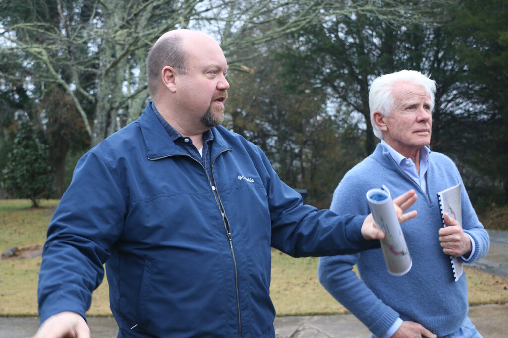
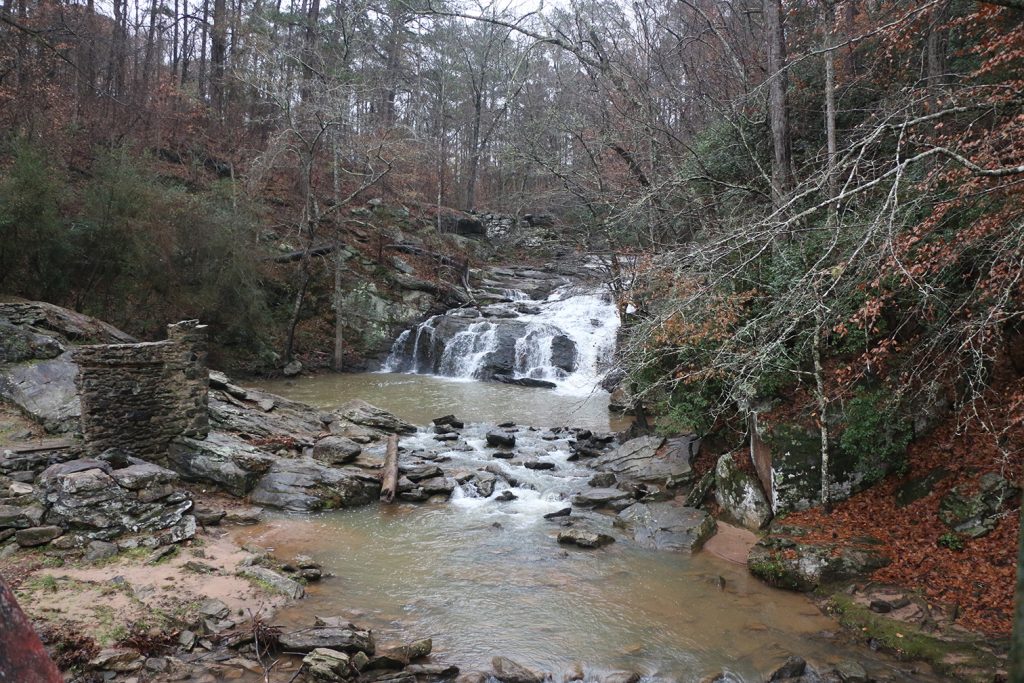
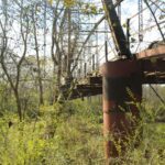
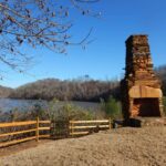
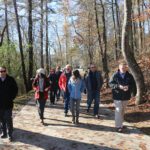
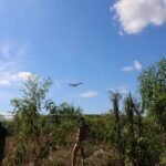
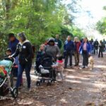
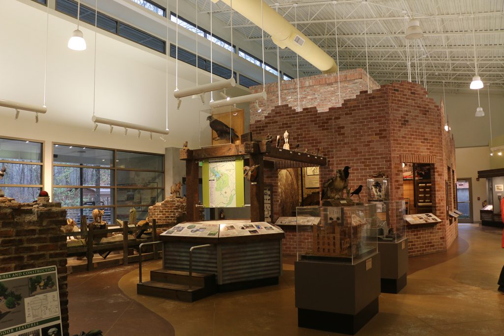
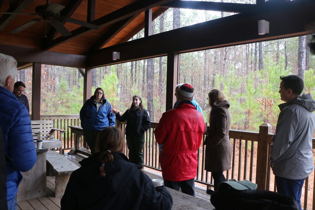
The Southern section of the Chattahoochee RiverLands Greenway Study consists of 53 miles of the river winding through a wide variety of urban, sub-urban, and rural transects – each with their own distinctive history and relationship to the river. As part of the larger 100-mile driving tour, Chattahoochee NOW gave the Project Team an amazing tour of those 53 miles and an introduction to the Vision 53 report that they commissioned which studies and presents possibilities for the southern 53 miles. Steve Nygren led the tour with help from many friends and local businesses along the way.
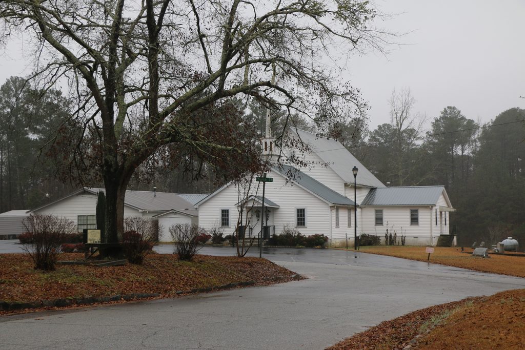
The tour included an introduction to the rural heritage of the southern portion of the site and the goals of Chattahoochee NOW. Steve pointed out that while the northern portion of the river includes access points on average every 3-5 miles, in the southern 53 miles, access is sparse – averaging every 25 miles. Chattahoochee NOW sees the potential for a contiguous greenway, increasing access and recreational opportunities along the river. Steve pointed to Chattahoochee Hill’s use of Transfer Development Rights (TDR) as an important tool to achieve this goal.
Current parks in the area include: Moores Bridge, Chattahoochee Hills Park, McIntosh Reserve, Chattahoochee Bend State Park, Cochran Mill, Dog River, Boundary Waters, and Sweetwater Creek State Park. Adding River access to those existing parks would be one way to quickly change the game.
Learn more about the 100-mile Windshield Driving Tour by downloading the summary here.