Walking, Jogging, Running, Cycling, Nature observation, Photography, Paddling and Fishing at Morgan Falls Park
Attractions
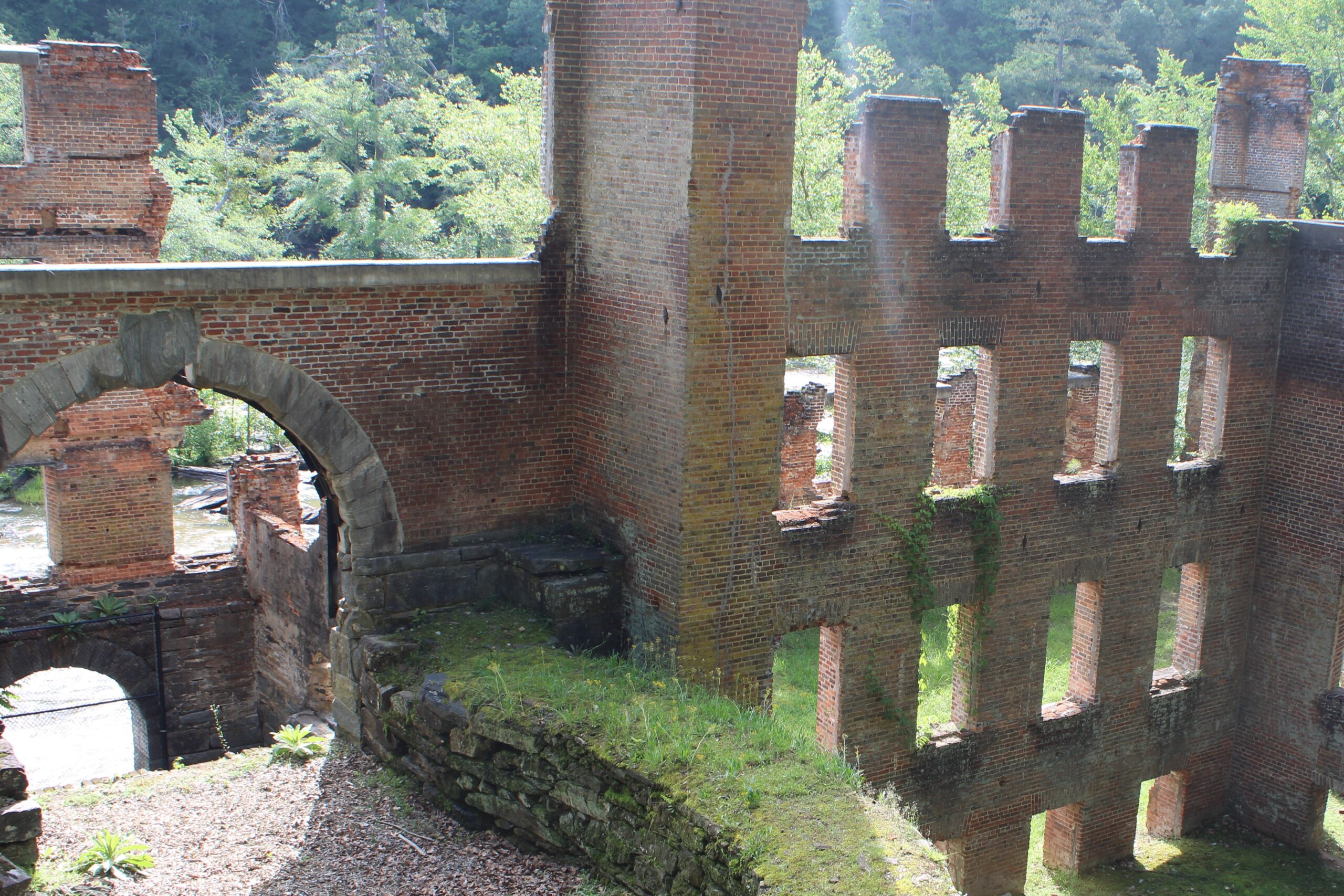
Morgan Falls Overlook Park, Morgan Falls River Dog Park, Scenic views of the Chattahoochee River, Boardwalk
Hours of Operation
Dawn to Dusk
Share this Trail :
Trail
overview
The Springway Trail – Morgan Falls Connector is a 1.88-mile paved trail segment that links Morgan Falls Park to surrounding neighborhoods and trail networks in Sandy Springs. As part of the larger Springway Trail vision, this connector provides a safe, accessible route for pedestrians and cyclists to move between the Chattahoochee River and inland parts of the city. Designed with gradual slopes, wide lanes, and clear signage, the trail supports a variety of users, from families out for a walk to daily bike commuters.
The connector is one of the first major completed pieces of the Springway system–a planned muti-use trail loop that will eventually span over 20 miles across Sandy Springs, liking major parks, schools, and commercial areas.
Beginning at Morgan Falls Park, the trail runs east toward Roswell Road, passing through wooded corridors and residential areas. The route includes shaded sections, safe street crossings, and benches placed at intervals for rest and wayfinding. Its western anchor point, Morgan Falls Park, offers access to the river, a playground, fishing pier, and paddling opportunities, making the trail a popular starting or ending point for outdoor activities.
Looking ahead, the Springway Trail will connect multiple city parks—including Ridgeview Park, Windsor Meadows, and Abernathy Greenway—forming a continuous loop around central Sandy Springs. When fully completed, it will offer off-street connections between major destinations, reducing car reliance and expanding recreational access for residents across the city.
The Morgan Falls Connector plays a key role in this vision, creating an essential link between the riverfront and future east-west trail corridors.
Trail
history
Unlike trails shaped by industrial or agricultural history, the Springway Trail – Morgan Falls Connector reflects a modern investment in connectivity, sustainability, and public access. Built by the City of Sandy Springs as part of a long-range parks and mobility plan, the trail repurposes utility corridors and right-of-way areas to provide active transportation alternatives.
The Springway Trail concept emerged from community planning efforts that identified a need for safe, non-motorized connections between parks, neighborhoods, and schools. The Morgan Falls segment was prioritized early on for its potential to connect residents to the Chattahoochee River and to one of the city’s most visited park spaces.
As new phases of the Springway loop are completed, the Morgan Falls Connector will become a vital hub in a broader network that supports both recreation and daily mobility, linking the city’s past, present, and future through accessible green infrastructure.