Family-Friendly, No Pets allowed in parks managed by the U.S. Army Corps of Engineers
Hours of Operation
8:00 AM - 10:00 PM
Share this Trail:
Trail
overview
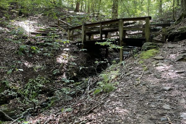
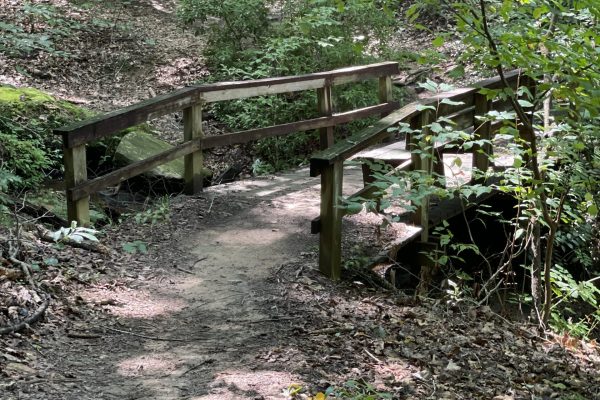
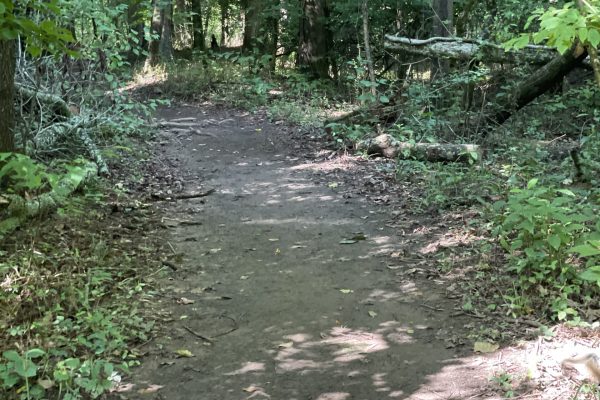
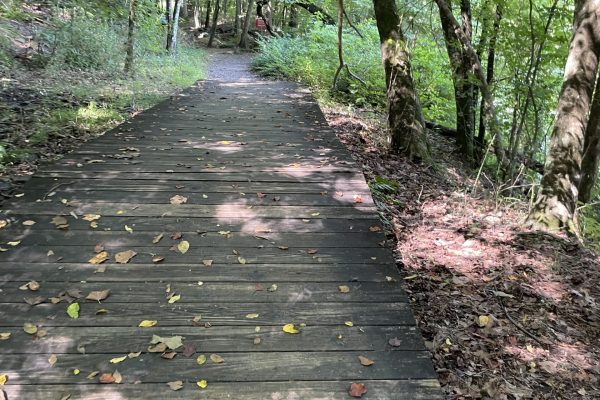
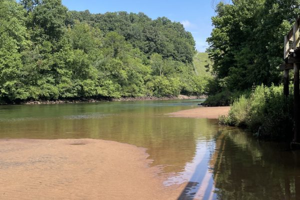
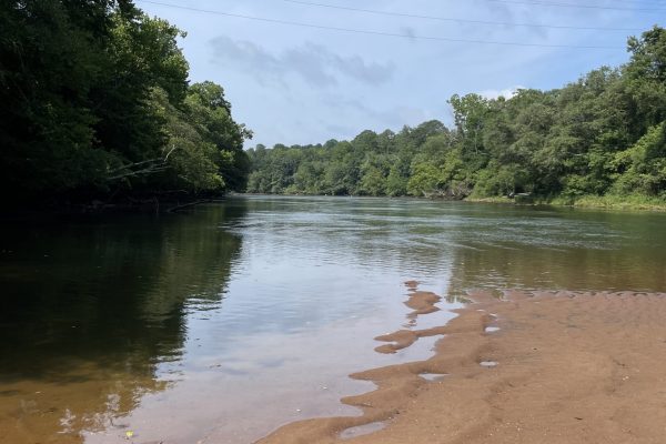
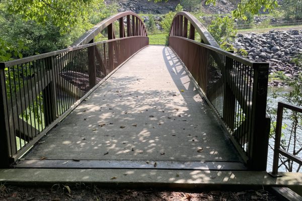
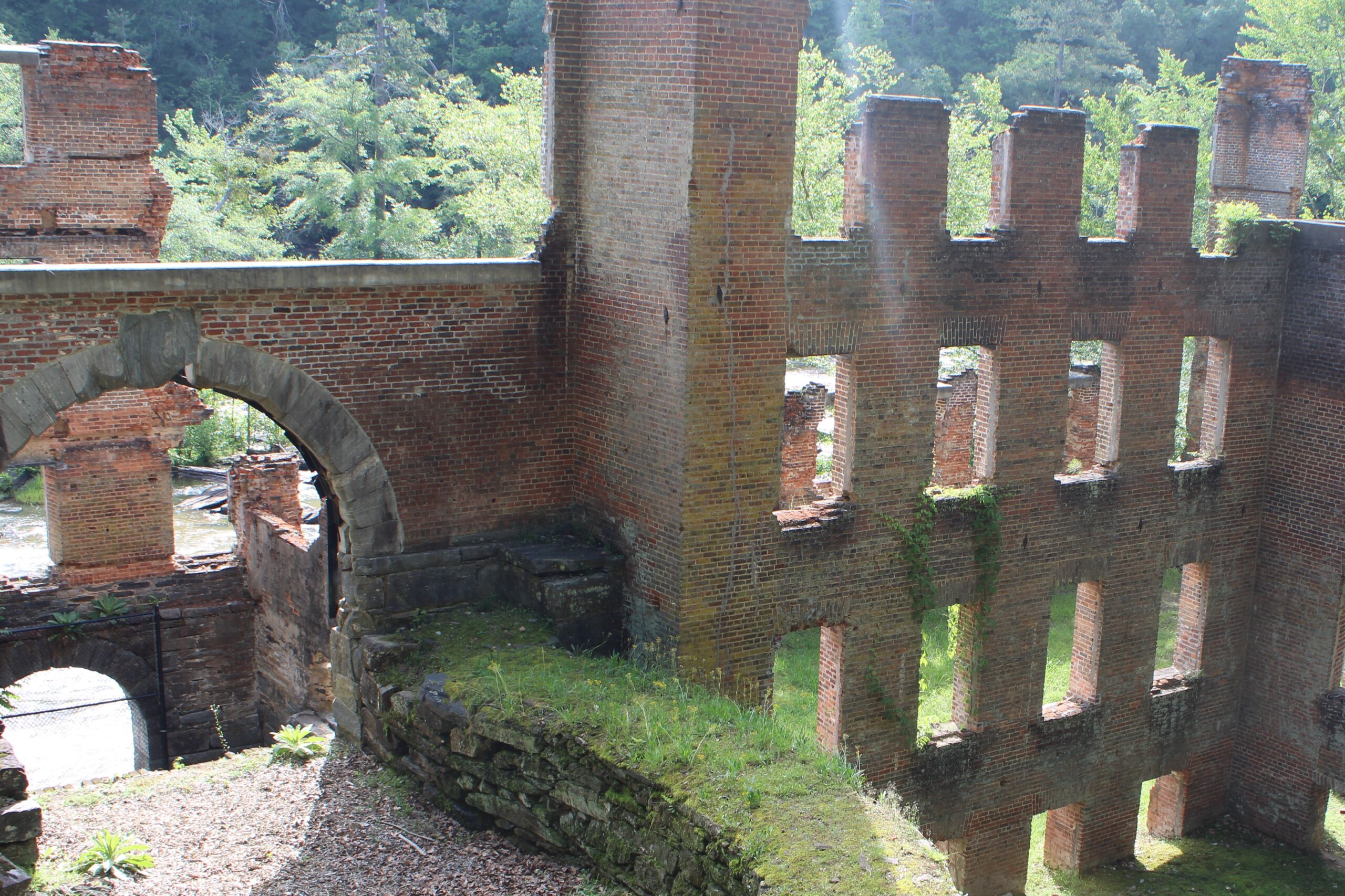
At the northernmost point of the Chattahoochee RiverLands, The Laurel Ridge Loop offers a 3.9-mile loop with scenic views of the Chattahoochee River, Buford Dam, and Lake Lanier. This trail has several possible starting points across various parks around Buford Dam and Lake Lanier–including Lower Pool West and Buford Dam Beach–though the official trailhead is located at the Lower Overlook. The Lower Overlook one of the few parks in the Buford Dam Park system that offers free parking. Regardless of your starting point, be aware that you will need to cross Buford Dam Highway twice, so exercise caution. The Laurel Ridge trail follows the bank of the Chattahoochee River for 0.4 miles, embodying the essence of the RiverLands by connecting people to the natural beauty and recreational opportunities along the river.
Along
the trail
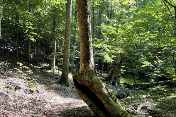
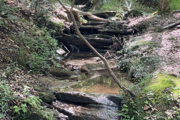
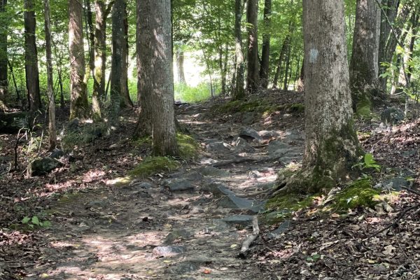
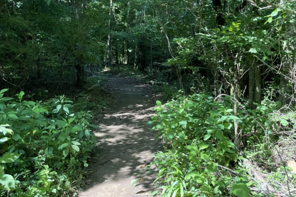
The Laurel Ridge Trail winds through wooded ridges and follows the banks of the Chattahoochee River for approximately 0.4 miles, capturing the essence of the RiverLands by connecting visitors with the region’s natural beauty and outdoor experiences. Along the way, hikers are treated to scenic views of the Chattahoochee, a tranquil creek that weaves through the forested landscape, and glimpses of Lake Lanier, whose deep, clear waters feed the river below the dam.
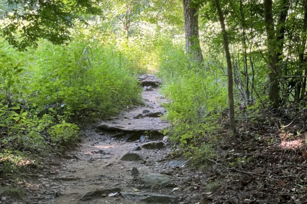
In addition to the main loop, several trail branches offer opportunities for longer hikes and quieter paths. These alternate routes can also help visitors avoid active maintenance areas. For a detailed trail map and current conditions, we recommend using AllTrails or similar hiking apps.
Trail
history
The Laurel Ridge Trail was developed by the U.S. Army Corps of Engineers as part of the recreational infrastructure surrounding Lake Sidney Lanier, a reservoir created in the 1950s by the construction of Buford Dam. Built primarily for flood control, hydroelectric power, and water supply, the dam also opened the region to new outdoor opportunities, including hiking, fishing, and wildlife observation.
The trail was named for the mountain laurel that blooms along the ridges in spring and was designed to showcase the area’s diverse terrain—winding through pine and hardwood forests, across creeks, and along high bluffs with sweeping views of the lake and river. Over time, it has become a popular local destination for both casual walkers and seasoned hikers, offering a peaceful retreat just minutes from metro Atlanta.
Today, the Laurel Ridge Loop is a key part of the broader Chattahoochee RiverLands vision.