Sweetwater Creek State Park: Group Shelter
/-84.628402,33.753604,12/300x186@2x?access_token=pk.eyJ1IjoibHpjYW11dGkiLCJhIjoiY2o3a281dWJvMHE4ajMzbGF4enJyNHRiciJ9.DhYjvPk5E_wJvys5DU5v2A)
October Joint Sub-Areas 2 and 3 Meeting

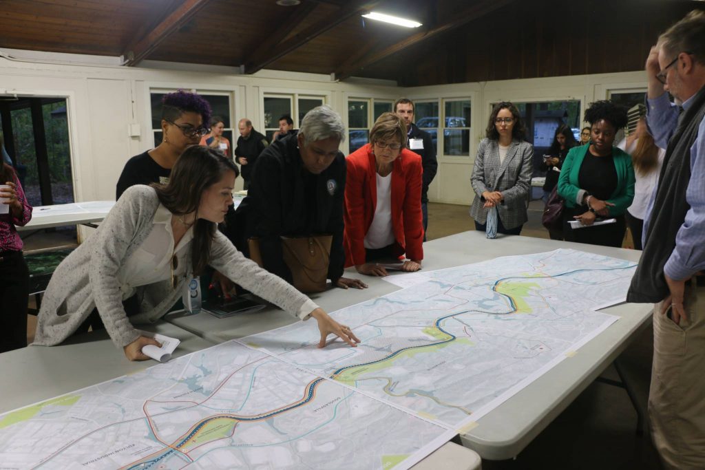
The third Sub-Area Committee 2 and Sub-Area Committee 3 meetings took place together on Wednesday, October 23rd from 6:00 pm to 8:00 pm at the Sweetwater Creek State Park Group Shelter. The three SACs are small stakeholder groups composed of local agencies, businesses, institutions, schools and community-based organizations for each of three broad section of the RiverLands study area. Sub-Area 2 and Sub-Area 3 met together for the first time to collectively re-imagine the lower 53 miles of the Chattahoochee RiverLands.

The Design team has spent 10 months absorbing previous plans, studies, and technical reports and attending meetings, presentations, site visits, hikes, and boat rides. After all this study, the Design Team met in SAC 1 to share three potential alignment alternatives for the Greenways, Blueway, and Tributary Trails for the Chattahoochee RiverLands within the Suburban Parklands area. Each one of these alignments was guided by a different underlying assumption:
The Path of Least Resistance: what would a trail alignment look like if we accessed public rights-of-way and easements, avoided or minimally navigated private property lines, and took advantage of natural topography and conditions?
The Path of Least Ecological Impacts: what would a trail alignment look like if it avoided ecologically sensitive areas?
Network of Destinations: what would a trail alignment look like if it maximized connections between local and regional points of interest?
The Design Team worked with the Sub-Area Committee members to collectively discuss the different alignments and how the design team can determine the selection of a preferred alignment that would best re-imagine the relationship between Metro Atlanta and the Chattahoochee River.