

Design Team Floats the Hooch
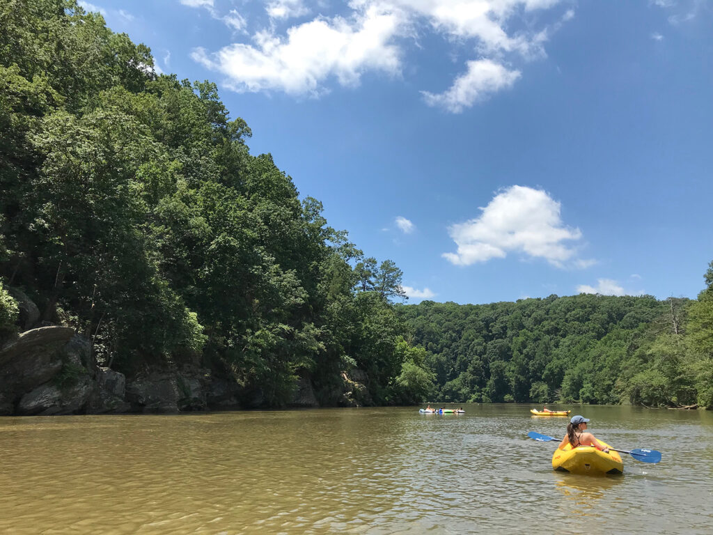
In June, the Design Team floated down the Chattahoochee River from Powers Island Nantahala Outdoor Center (NOC) Outpost to the Paces Mill Boat Ramp – about 3 miles in length through the Palisades. The water levels were high that afternoon and NOC recommended using inflated kayaks to be safe. On the float, the team passed under major urban infrastructure including I-285 and I-75 which created cathedral like spaces underneath. Between those highways, the River crosses many shallow areas – including the Long Island Shoals, Devils Racecourse Shoals, and Thornton Shoals – creating an exhilarating ride. The team stopped for a quick break on Thornton Shoals to get out of the inflated kayaks for a dip into the cold and refreshing water. Turtles and birds also sunbathed on the rocky outcroppings. Where the CRNRA: East Palisades trail opens to the River, the Team played a game of fetch with a friendly chocolate lab in an area commonly referred to Dog Beach. The float trip also included visits to various islands, exploration of tributaries like Rottenwood Creek and efforts to save the life of a young turtle. When the Design Team reached the Paces Mill boat ramp about 2 hours after put-in, a shuttle bus waited to bring everyone back to their vehicles at Powers Island.


Featured Community Stories:
More Community Stories:
-
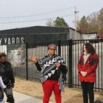
Walking Proctor Creek with Local Stakeholders

-
River Ramble at Island Ford
-
Neighborhood Planning Unit Meetings
-
November Public Forum @ The Rec Center
-
Driving Tour Stakeholder Meeting at Serenbe Farms
-
Driving Tour Stakeholder Meeting at the Atlanta City Studio
-
Driving Tour Stakeholder Meeting at the Chattahoochee Nature Center
-
August Studio Hours